
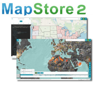
MapStore Release 2019.01.00: Timeline, Styler and more
Dear Reader,
We are pleased to announce the release 2019.01.00 of MapStore, our flagship Open Source WebGIS product. The full list of changes for this release can be found here, but the most interesting additions are the following:
- Timeline: you can manage time-enabled WMS layers, visualize their data through time and create animations, more information are available in the User Guide
- Style Editor: you can create new styles for your layers or edit an existing one directly in MapStore, more information are available in the User Guide
- User Guide: the MapStore User Guide is now available here with several sections and improved documentation
- Various bug fixes and performance improvements
We have also nearly completed the integration in GeoNode, which will be release shortly after this release.

MapStore integration in GeoNode
The Timeline
The Timeline is an useful tool for managing WMS layers with a time dimension. It makes it possible to observe the layers evolution over time, to inspect the layer values at a specific time instant (or time range) and to view different layer configurations dynamically through animations.
The Timeline works on top of the GeoServer WMTS-Multidim extension, when you load time layers the Timeline panel becomes automatically visible over the map viewport.

Timeline tool visible on the map for layers with time dimension
The Timeline panel can be expanded to visualize the timeline histogram that shows the time domain of the involved layers. You can zoom on the histogram, scroll the time axis and drag the current time cursor along it.

Timeline histogram
More functionalities and the whole set of the available settings are described in the new User Guide.
Style Editor
The style section of the Layer Settings tool has been improved and the L&F reviewed. Now you can select the layer styles from a list of cards and a search tool is also available. New tools have been also included to allow the editing capabilities, they are available in the toolbar to the users with Admin rights. The Style Editor works with the GeoServer REST APIs.

Style settings and new tools for editing
As a user with administrative rights in GeoServer you can edit an existing style in the list or you can create a new style from scratch, in that case MapStore shows some style templates from which you can start the editing using both SLD or CSS syntax (CSS is available only if the GeoServer CSS Styling plugin is installed in GeoServer).

Template selection

Style editing in SLD format
The User Guide
MapStore documentation has been refactored and updated to improve the user experience: both the User Guide and the Developer Guide are now easly accessible and navigable. The User Guide provides now several sections with useful information about the MapStore functionalities: each plugin and component has been described to guide the user to a better experience. The Developer Guide has been also migrated to the new documentation and it will be furtherly updated this year for next releases.
Ongoing and future work
For the next releases we have plans to work on the following (in sparse order):
- Integration with GeoNode, during the last year we have also provided a GeoNode plugin that allows to integrate MapStore as GeoNode WebGIS Viewer and it will be released soon during 2019
- Support for more general map annotations, beyond simple markers
- Further improvements to charts and dashboards
- Support for storytelling tools
- Support for multiple map projections
- Improvements to the existing tools like Measurement, Search and Catalog
- Vector Tiles and MapBox Style support
Stay tuned for additional news on the next features!
If you are interested in learning about how we can help you achieving your goals with open source products like GeoServer, Mapstore, GeoNode and GeoNetwork through our Enterprise Support Services and GeoServer Deployment Warranty offerings, feel free to contact us!
The GeoSolutions team,
